Views along the Knife Edge
back to Mt Katahdin trip report (July 10, 2004)
Annotated Color Image
Aerial Image
| These are not the clearest images due to the cloud enveloping the ridgeline. |
|
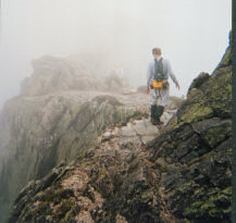
Toward the eastern end of the trail, the ridge is often just a few feet wide, in some paces less than 2 feet, with steep and occasionally vertical dropoffs on either side. |
 |
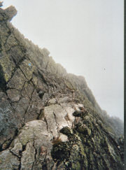
Here is one of them. The trail skirts the edge of a small peak. |
 |
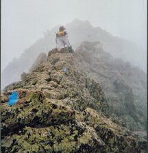
Same spot, looking back at the section of "trail" we just passed. The blue mark shows the trail. There are actually places to put your feet and good hand holds, despite the appearance. And it is a long way down to the first bump. |
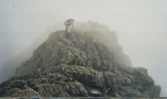 |
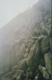
Climbing up towards Chimney Peak, the next-to-last stop on the trail. |
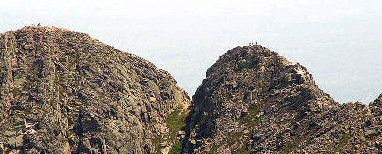 |
This is someone else's photo of the Pamola Cleft, taken on a clear day, with Chimney Peak on the right, Pamola on the left, and Pamola Cleft in between. |
| The trail ascends from the right to the top of the Chimney, then down to the col, and back up to Pamola Peak. Somehow it is not as difficult as it looks here. | |
 |
And here is the view from the col between the peaks. With luck you can just make out the people descending from the Chimney. |